EarthRanger
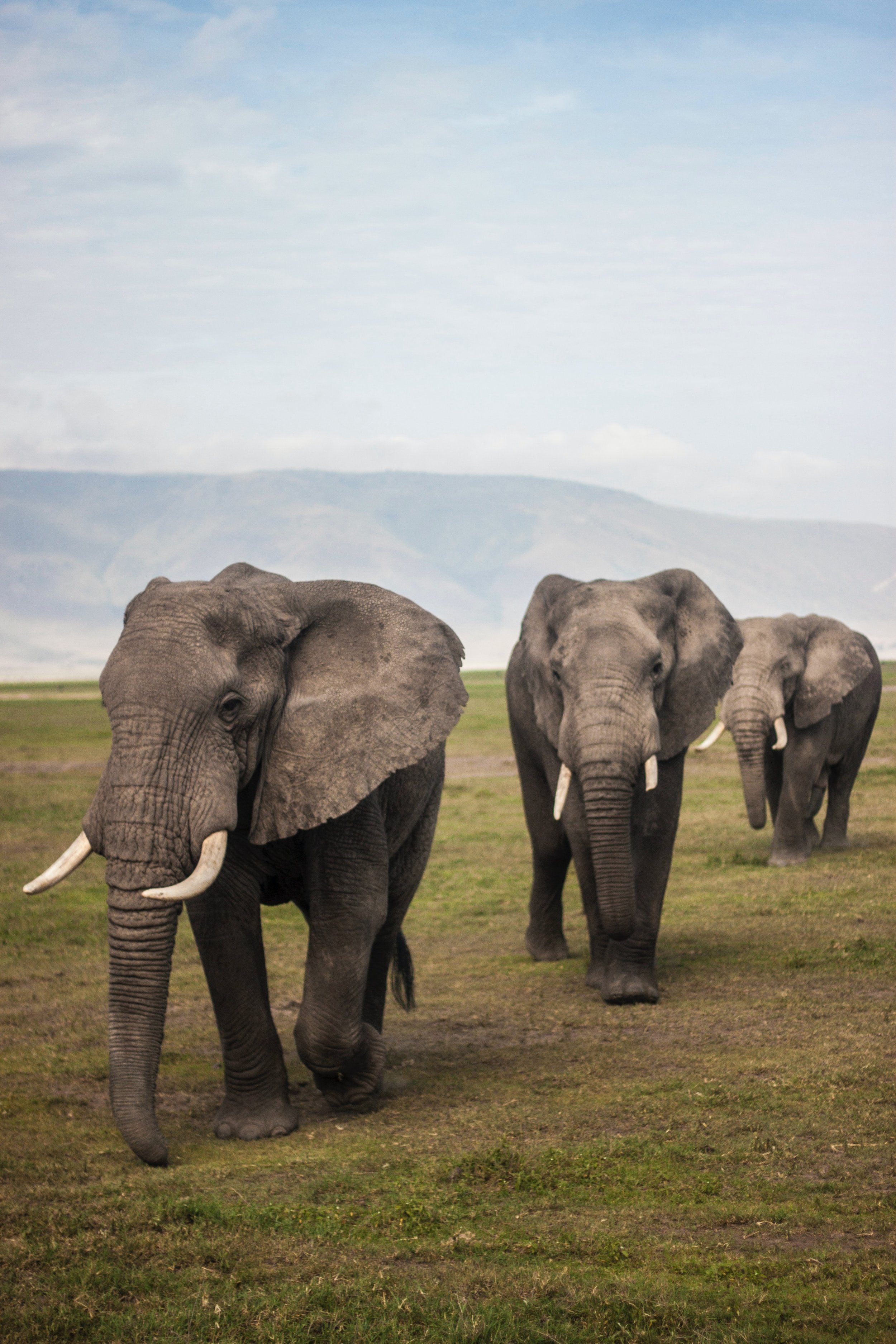
EarthRanger is a real-time software solution that aids protected area managers, ecologists, and wildlife biologists in making more informed operational decisions for wildlife conservation. It collects, integrates and displays all historical and real-time data available from a protected area—including wildlife, ranger patrols, spatial data, and observed threats.
We needed a way to show how EarthRanger works in the field, from collecting data to guiding and assisting Rangers in day-to-day operations.
The process began with interviews of the Technology Program leads to understand all the points of interaction, functional components, and environments we would need to illustrate. We then completed some rough sketches, iterated, reviewed, refined, and finally rendered a detailed illustration of EarthRanger in action.
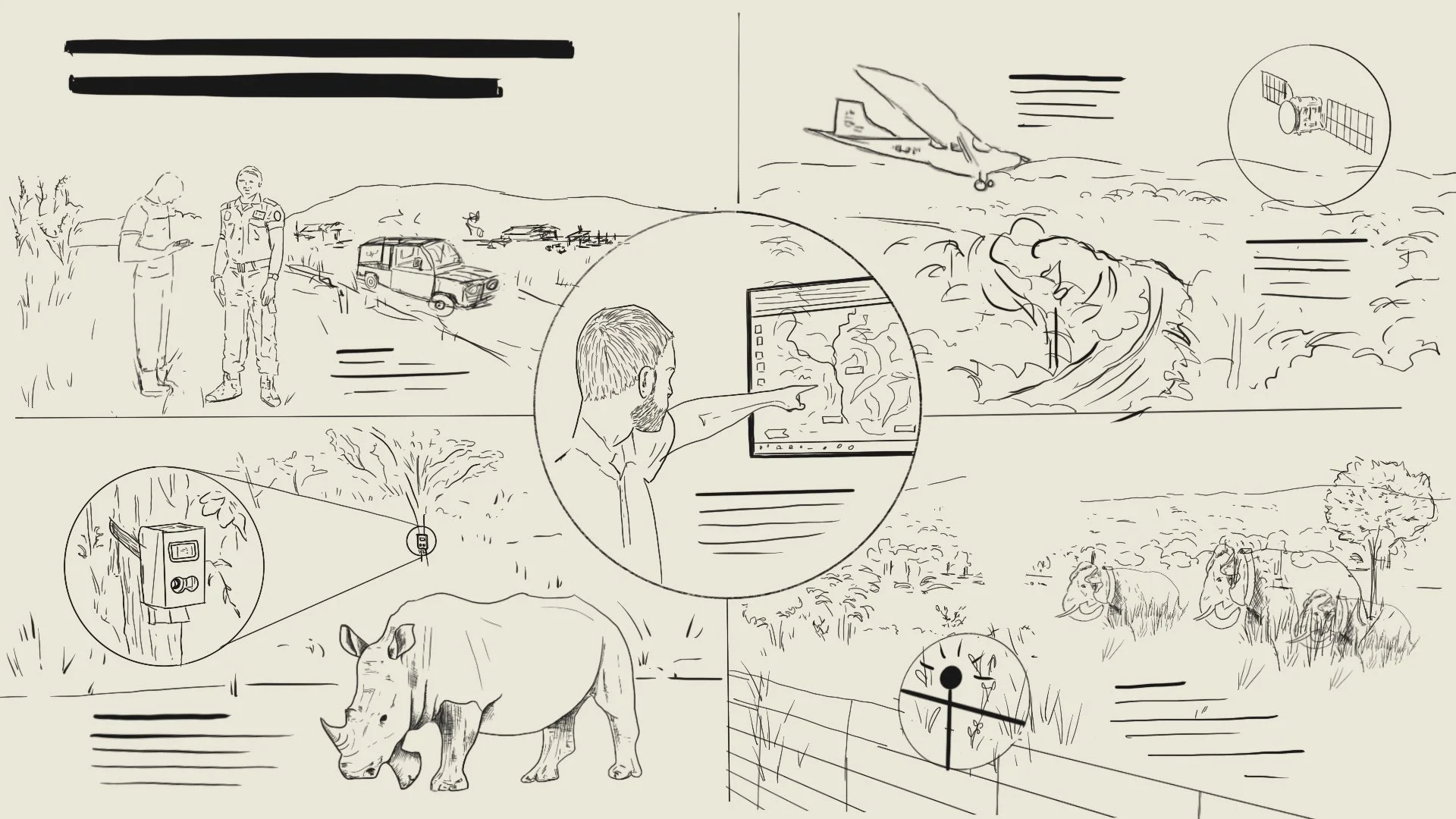
Sketch
A rough sketch of the visual components helps us refine the story we are telling. Does the visual narrative flow? Will it make sense as a standalone asset or does it need explanation? Can we be clearer? More concise?
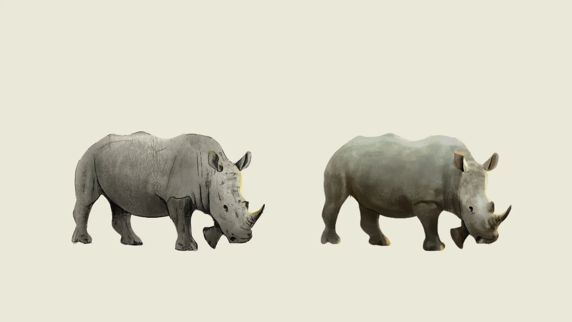
Style
Once our sketch is finalized, we move to refine our illustrative style. We consider audience, content, and context when defining qualities like texture, color, detail, and form.
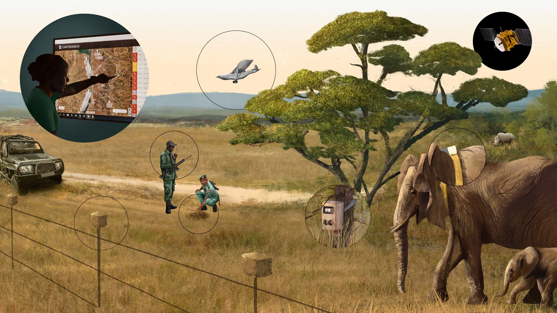
Render
A final rendered sketch brings all these elements together in a cohesive way. This final asset is used in marketing and PR collateral to support conversations about use cases and functions.